APHIS in Action
Last Modified: March 16, 2026
Every day, APHIS works to protect the health and value of America's agricultural and natural resources. These articles tell a story about how we are tackling some of the biggest issues facing U.S. agriculture and natural resources today.
Featured
What happens when two tiny travelers accidentally cross an ocean? Thanks to the dedication of APHIS employees and international partners, this story has a happy ending.

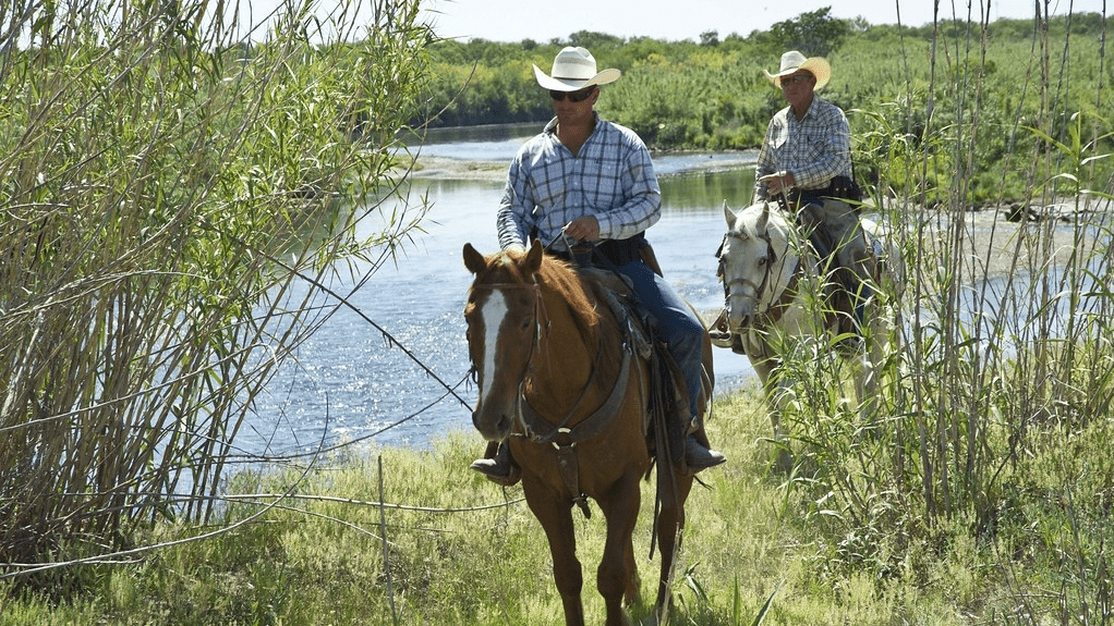
For over a century, a dedicated group of mounted patrol inspectors—known informally as Tick Riders—has patrolled the southern U.S. border. Their mission: protect U.S. cattle from the cattle fever tick, a parasite that causes severe blood loss, weakness, and can transmit deadly diseases like babesiosis and anaplasmosis.